
Drones offer powerful perspectives to showcase homes and businesses in Ogden by revealing context, access, and features that ground photos can’t.
How drones showcase properties and businesses;
- Aerial context and neighborhood: Show proximity to Historic 25th Street, downtown amenities, transit corridors, and nearby neighborhoods (Washington Terrace, Riverdale) to communicate convenience and walkability.
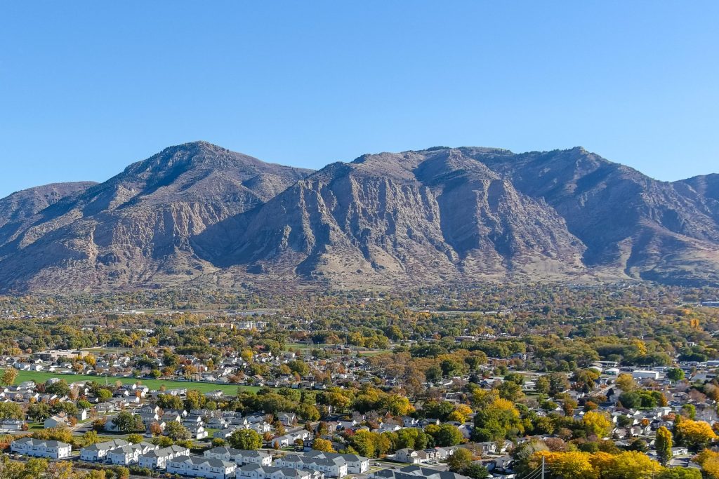
- Views and setting: Capture valley vistas, foothills, and mountain backdrops (Wasatch Front, Snowbasin view corridors) that add emotional appeal and value.
- Lot and property footprint: Clearly display lot size, landscaping, driveways, outbuildings, and parking—especially for hillside homes or larger parcels.
- Business location & accessibility: Highlight storefront visibility, nearby parking, pedestrian flow, and proximity to major roads (I‑15, US‑89) for retail, restaurants, and service businesses.
- Exterior features and outdoor amenities: Showcase pools, patios, rooftop decks, outdoor dining areas, signage, and landscaping in one frame.
- Facilities and campus overviews: Useful for industrial parks, schools, healthcare centers, and commercial complexes to show layout and circulation.
- Event and lifestyle shots: Capture festivals, farmers markets, outdoor seating, and foot traffic on Historic 25th Street or downtown plazas to convey vibe and customer density.